Very strong M7.6 earthquake hits Tanimbar Islands region, Indonesia
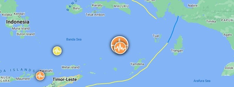
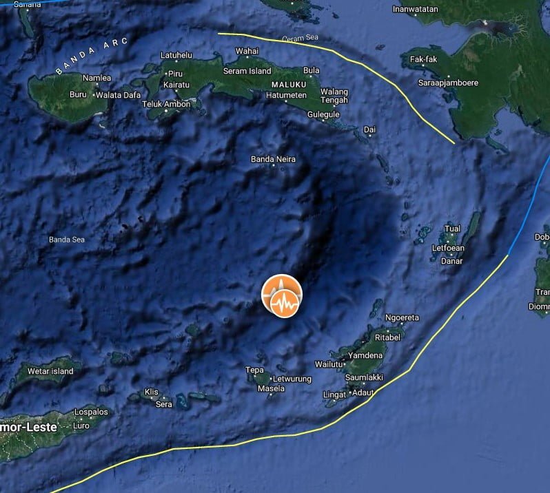
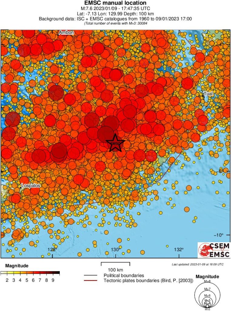
A very strong earthquake registered by the USGS as M7.6 hit the Tanimbar Islands region, Indonesia at 17:47 UTC on January 9, 2023 (00:47 LT on January 10). The agency is reporting a depth of 105.1 km (65.3 miles). EMSC reports M7.6 at a depth of 100 km (62 miles), BMKG M7.5 at a depth of 130 km (81 miles).
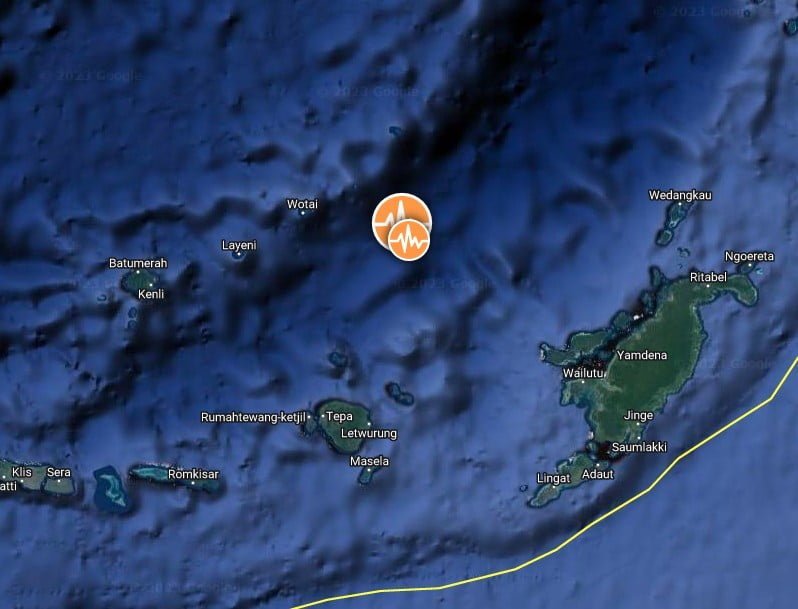
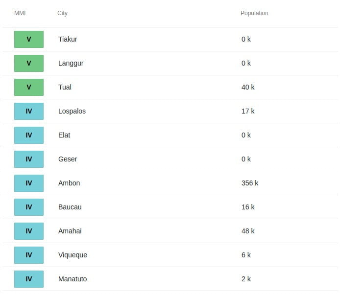
The epicenter was located about 339.3 km (210.8 miles) WSW of Tual (population 39 502), and 426 km (264.7 miles) SSE of Ambon (population 355 596), Maluku, Indonesia.
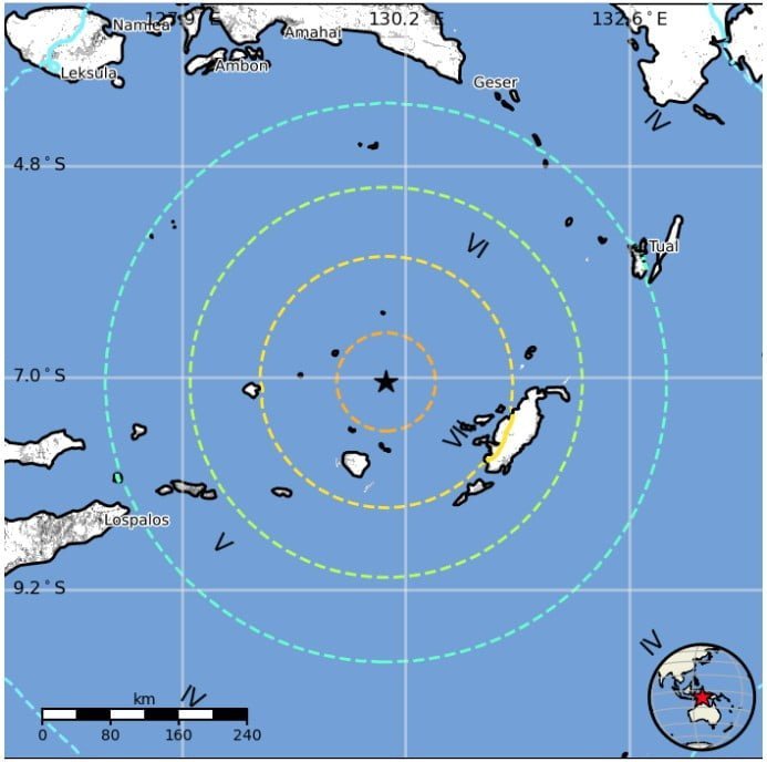
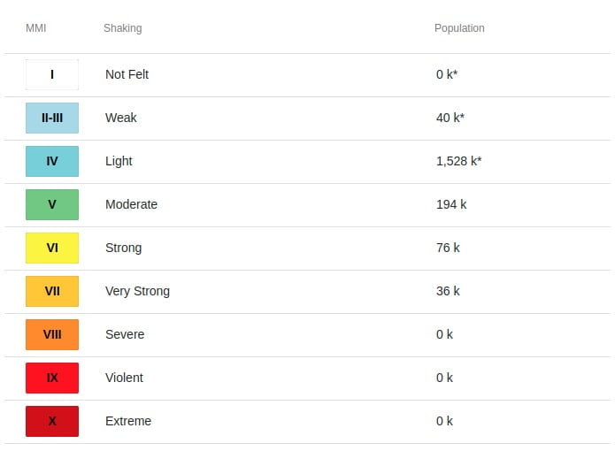
36 000 people are estimated to have felt very strong shaking, 76 000 strong, 194 000 moderate, and 1 528 000 light.
The USGS issued a Green alert for shaking-related fatalities and economic losses. There is a low likelihood of casualties and damage.
Overall, the population in this region resides in structures that are vulnerable to earthquake shaking, though resistant structures exist. The predominant vulnerable building types are unreinforced brick with concrete floor and precast concrete frame with wall construction.
After receiving preliminary data (M7.9), BMKG said there is a potential for tsunami and directed residents living in the affected regions to follow the tsunami early warning directions from the local government, BPBD, BNPB and BMKG.
The agency later revised the magnitude to M7.5 and canceled tsunami warnings.
Historical earthquakes of similar magnitude in this region have not produced tsunamis.
This is the largest earthquake in this region since M7.7 on June 24, 2019.
Estimated population exposure to earthquake shaking
Selected cities exposed
Regional seismicity
Update
According to data from the Regional Disaster Management Agency (BPBD) of Maluku Province, the earthquake caused moderate to severe damage to 523 residents’ houses, and damage to 131 public facilities, including public facilities, facilities, and infrastructure.
Featured image credit: TW/SAM, Google
Commenting rules and guidelines
We value the thoughts and opinions of our readers and welcome healthy discussions on our website. In order to maintain a respectful and positive community, we ask that all commenters follow these rules.