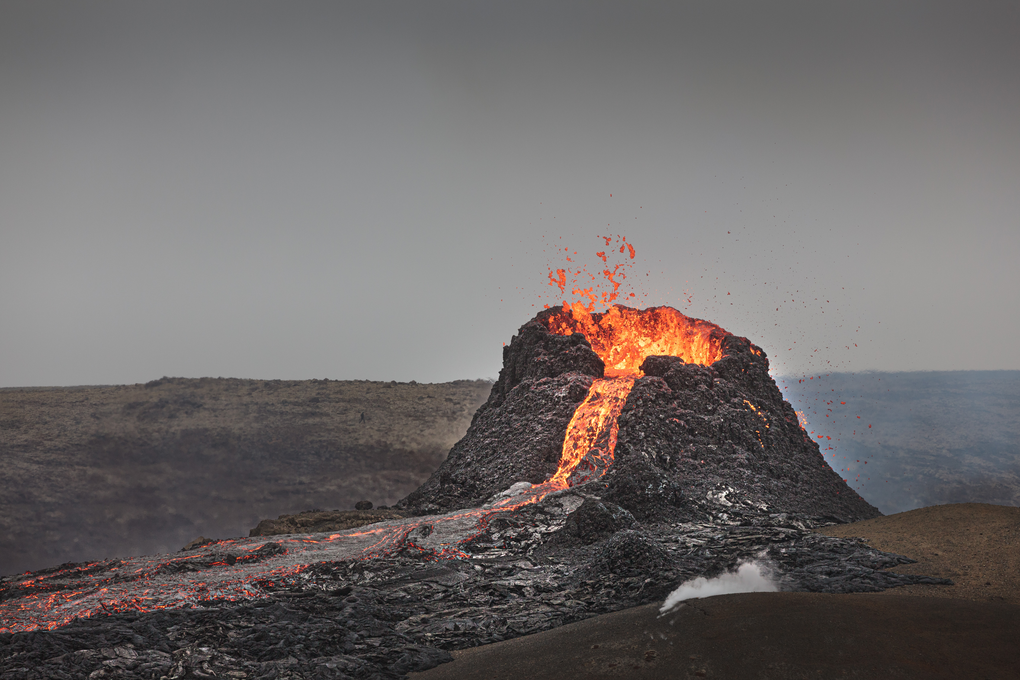
Eruption site close to Grindavík
April 2024:
An eruption started north of Grindavík on March 16 and is still active.
Police commands: Roads to Grindavík are closed for all traffic except for inhabitants in the town, employees of companies and response units. For others the town of Grindavík, the area around and roads in the area will remain CLOSED. Hiking in the area is prohibited. Respect the commands and closures.
Updated news on the area can be found here. For a map of the area and where to find “Memorial board B-24” the only view point where you can see the crater, see here.
Fagradalsfjall / Geldingadalir eruption site
April 2024:
Parking area P1 can be accessed by road 427 direction from east. Stay on the trails. Fissures can be hard to detect, especially when snow covers the ground. Make sure you have warm clothes, wind- and waterproof, sturdy shoes and something to eat and drink.
For more information on parking, hiking paths and viewpoints see here.
Please note that hiking toward the ongoing eruption is strictly forbidden. New fissures and holes might have formed, the lava field can be dangerously hot and the terrain is very difficult to cross.

