Introducing the FAO Hand-in-Hand Geospatial Platform
FAO's open-access Hand in Hand (HIH) Geospatial Platform provides advanced information, including food security indicators and agricultural statistics, for more targeted agriculture interventions. The platform unlocks millions of data layers from different domains and sources to serve as the key enabling tool for FAO's HiH Initiative and serve digital agriculture experts, economists, government and non-government agencies, and other stakeholders working in the food and agriculture sector. The data has been sourced from FAO and other leading public data providers across the UN and NGOs, academia, private sector and space agencies, including key FAO flagship databases such as FAOSTAT data on food and agriculture for over 245 countries and territories from 1961 to the most recent year available. Since the launch of the platform in 2020, over 65 countries and institutions have participated in workshops to learn how leveraging data and technology can contribute to digital agriculture transformation and rural development.
Hand-in-Hand Initiative
![]() Target the poorest
Target the poorest
![]() Matchmaking
Matchmaking
![]() FAO mandate and SGD targets
FAO mandate and SGD targets
![]() Partnerships
Partnerships
![]() Provide a framework
Provide a framework
The Geospatial Platform is the main technical tool enabling the Hand-in-Hand initiative.
Video
Introducing FAO Hand-in-Hand Geospatial Platform: To Build a Better Future For All
30/01/2023
The Hand-in-Hand Geospatial Platform, led by the FAO Agro-informatics team, is the enabling tool for the FAO Hand-in-Hand (HiH) Initiative, an...
Events

Virtual Event
Join the ESA EO4Health User Forum 2024
15/01/2024 - 16/01/2024
The European Space Agency, in the context of EO Science for Society, is organizing the EO4Health User Forum to be held virtually on 15-16th January...

Virtual Event
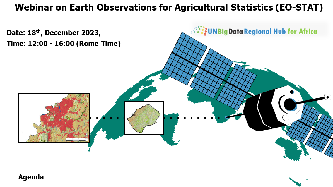
International Webinar on Earth Observations for Agricultural Statistics (EO-STAT)
18/12/2023
On Monday, 18th December, from 12:00 to 16:00 (Rome Time), join the
Projects In Focus
.jpg?sfvrsn=5783bc6d_12)
Project
Climate Risk Toolbox (CRTB)
The Climate Risk Toolbox (CRTB) allows users to conduct climate risk screenings in a few steps, and to obtain a comprehensive report that includes climate-resilient measures and tailored recommendations to prevent and reduce climate risk.
More
Project
Global Agro-Ecological Zoning version 4 (GAEZ v4)
The AEZ methodology was implemented to assess the capacity of the world's natural resources to meet the needs for food of a fast-growing global population, particularly in developing countries.
More
Project
FAO Global Animal Disease Information System (EMPRES-i)
EMPRES Global Animal Disease Information System (EMPRES-i) supports veterinary services by facilitating the organization and access to regional and global disease information.
More